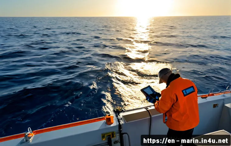
Choose ocean data collection methods by starting with the decision you need to support, then matching coverage, depth, sampling frequency, and data quality needs.
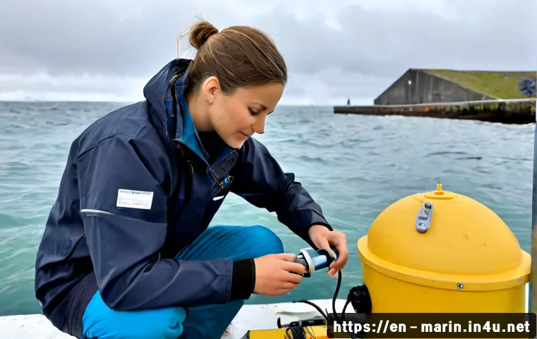
For a small or time-limited project, existing satellite or public datasets may be a practical starting point; for site-specific conditions, in-water measurements are often essential.
Vessel surveys offer direct sampling flexibility, while moorings support repeated measurements at one location. Autonomous platforms can extend coverage without continuous onboard personnel, but mission constraints still matter.
Compare total project cost, including calibration, deployment, processing, maintenance, and retrieval—not only the sensor purchase price. A scope-based quote is often useful when vessel time, specialist processing, or hydrographic survey services are involved.
At a Glance
- Use field sensors when decisions depend on conditions at a specific depth, site, or time.
- Use vessels, moorings, autonomous platforms, and satellite data differently; each has distinct coverage and operational limits.
- Compare total cost and data quality requirements before buying equipment or selecting a marine survey provider.
| Option | Best Fit | Main Strength | Key Planning Consideration |
|---|---|---|---|
| Vessel-based sampling | Direct sampling, hydrographic surveys, multi-instrument deployments | Flexible fieldwork and direct access to the site | Weather, crew coordination, vessel time, and mobilization |
| Buoys and moorings | Repeated monitoring at one location | Longer-term fixed-site measurements | Power, telemetry, fouling, maintenance, and retrieval |
| Autonomous platforms | Broader-area or longer missions | Reduced need for continuous onboard personnel | Mission design, communications, depth, and recovery planning |
| Satellite and public datasets | Large-scale surface monitoring and early project screening | Broad geographic coverage | Does not replace every in-water measurement |
| Outsourced survey services | Projects needing vessel access, calibration, or processing expertise | Integrated equipment and operational capability | Define deliverables, metadata, data ownership, and quality control |
Choose the Data Collection Method Based on the Decision You Need to Make
The right ocean monitoring method begins with a clear decision, not a catalog of sensors. Define whether the project needs a baseline survey, compliance monitoring, construction planning, fisheries observations, or offshore operational support. That purpose determines which measurements matter and whether the project needs a single survey, repeated records, or broad-area coverage.
Define the measurement question before choosing equipment
Oceanographic data can include temperature, salinity, depth, currents, waves, dissolved oxygen, turbidity, nutrients, and seafloor characteristics. A CTD instrument is commonly used for conductivity, temperature, and depth, with salinity commonly derived from conductivity measurements. Select instruments only after identifying the variables that will support the final decision.
Match spatial coverage, depth range, and sampling frequency to the project goal
A fixed station may suit a site where change over time is the main concern. A vessel-based hydrographic survey may fit a project that needs measurements across a defined route or area. Autonomous vehicles, surface vehicles, and gliders can support longer or wider missions. Before requesting an equipment quote, specify the target area, depth range, deployment duration, and the sampling interval needed for the project.
Quick answer: when field measurements are essential and when existing datasets may be enough
Satellite observations and publicly available ocean datasets can help with initial planning and large-scale sea surface monitoring. They are not a substitute for every local, subsurface, or direct-sampling requirement. If the decision depends on conditions at a specific site, depth, or time window, in-water measurements may be necessary.
Compare Marine Data Collection Options by Coverage, Accuracy, and Total Cost
Vessel-based sampling and hydrographic surveys
Research vessels enable direct sampling and deployment of multiple instruments. They can be a strong option when a project requires flexible positioning, direct observation, or several measurement types in one field campaign. However, vessel surveys require planning for crew coordination, weather contingencies, navigation requirements, and processing after collection. Consider vessel time, mobilization, calibration, and data processing together when comparing hydrographic survey services.
Buoys, moorings, and fixed sensor stations
Fixed buoys and moorings can support repeated measurements at one location over extended periods. They are useful when the goal is to track changing water conditions rather than collect a single snapshot. The operational plan should address battery capacity, telemetry, biofouling, corrosion, servicing, and retrieval. A low purchase price does not remove these ongoing requirements.
Autonomous underwater vehicles, surface vehicles, and gliders
Autonomous platforms can collect data over broader areas or longer missions without continuous onboard personnel. They may be suitable where repeated vessel presence is impractical. Coverage and continuity still vary with location, weather, depth, communications, and project constraints. Confirm the deployment and recovery approach before treating autonomy as a simple replacement for field operations.
Satellite and publicly available ocean datasets
Satellite data can support large-scale monitoring of sea surface conditions and may reduce early-stage fieldwork needs. Public datasets can also be useful for screening, context, and pilot-study planning. Review the coverage, timing, and suitability for the question being asked. Satellite observations support field planning, but they do not replace every in-water sensor or sampling program.
Buying equipment versus renting instruments versus outsourcing fieldwork
Buying ocean monitoring equipment can make sense when the same measurements will be repeated and the team can manage calibration, deployment, maintenance, and data handling. Renting instruments may be more suitable for a short project or a pilot study. A marine survey contractor can offer better value when the scope requires vessel access, specialized sensor platforms, hydrographic processing, or experienced field coordination. Compare the full scope, not just the instrument line item.
Build a Reliable Fieldwork Plan From Sensor Selection to Data Storage
Select sensors for physical, chemical, biological, or seafloor measurements
Choose sensor types according to the required data: physical water properties, chemical conditions, biological indicators, or seafloor characteristics. Avoid selecting the highest-specification instrument without a defined objective. The appropriate accuracy and sampling interval depend on the operational or research question.
Plan calibration, power, telemetry, retrieval, and backup systems
Reliable data collection depends on more than sensor selection. Plan for calibration, power, communications, deployment design, retrieval, and replacement risk. Field conditions can affect equipment and no method can guarantee uninterrupted measurements in all marine conditions. Build weather and operational contingencies into the plan.
Document metadata, timestamps, coordinates, and instrument settings
Data quality depends on calibration, deployment design, sampling frequency, metadata, and quality-control procedures. Record timestamps, coordinates, instrument settings, deployment details, and calibration information. This documentation helps a project team interpret the data later and evaluate whether results meet the original scope.
Avoid Common Marine Monitoring Mistakes
Underestimating biofouling, corrosion, weather, and deployment loss
Marine environments can affect sensors, moorings, telemetry systems, and recovery operations. Include inspection, maintenance, and contingency planning in the monitoring design. These risks should be discussed when comparing sensor platforms and service proposals.
Choosing a sampling interval that misses short-term events
A sampling interval should reflect the changes the project needs to detect. If the interval is selected only for convenience, it may not capture relevant short-term conditions. Define the decision first, then ask equipment vendors or survey providers how the proposed configuration supports it.
Treating raw readings as final data without quality control
Raw readings are not automatically final project data. Establish quality-control procedures and clarify how calibration records, anomalies, missing records, and processing steps will be handled. This is especially important when multiple instruments, platforms, or contractors are involved.
Overlooking permits, navigation notices, and site-access constraints
Permits, navigation safety rules, protected-area restrictions, and local maritime requirements may affect field operations. Requirements vary by location and scope, so confirm them before mobilization. Do not assume that a technically suitable deployment is automatically permitted.
Use the Right Approach for Coastal, Offshore, and Research Projects
Coastal water-quality and estuary monitoring
Coastal teams often need repeated local measurements such as temperature, salinity, turbidity, dissolved oxygen, or nutrients. Fixed sensor stations may support trend monitoring, while vessel sampling can add direct observations across an estuary or shoreline area. Consider fouling, access, and servicing needs early.
Port, dredging, and marine construction baseline surveys
Baseline work may require site-specific water, depth, current, wave, or seafloor information. Vessel-based sampling and hydrographic survey services can be useful when measurements must cover a defined project area. Confirm survey boundaries, data processing needs, and expected deliverables before work begins.
Offshore energy, cable-route, and infrastructure monitoring
Offshore projects may need broader coverage, deeper measurements, or longer deployment periods. Autonomous platforms, moorings, vessels, and satellite observations can each contribute different information. A combined approach may be appropriate when surface coverage alone cannot answer the operational question.
University research and small-budget pilot studies
Small projects can begin with public datasets or satellite observations to refine the research question. Renting a CTD or another sensor platform may be preferable to buying equipment for a limited campaign. Keep the pilot scope focused, document metadata carefully, and avoid promising more coverage than the method can provide.
Selection Criteria and Comparison Summary
Choose an in-house system when measurements will be repeated and your team can support calibration, deployment, maintenance, quality control, and data storage. Choose a survey contractor or vessel charter when vessel time, specialist processing, crew coordination, or hydrographic expertise is required. Before comparing quotes, check the measurement variables, coverage area, depth range, sampling interval, calibration approach, data format, metadata, retrieval plan, and data ownership. Request a scope-based quote when vessel time, calibration, or processing expertise is required. For equipment specifications, rental conditions, or survey deliverables, review the relevant provider page carefully before making a commitment.
Conclusion
Reliable ocean data collection is a planning problem as much as an equipment decision. Start with the decision the data must support, then select a method that fits the site, depth, coverage, timing, and operational limits. Include calibration, metadata, maintenance, and quality control in the scope from the beginning. A well-defined plan makes it easier to compare marine monitoring equipment, vessel services, and outsourced survey proposals fairly.
Useful Information to Know
CTD refers to conductivity, temperature, and depth measurements, with salinity commonly derived from conductivity. Moorings support repeated fixed-location monitoring. Satellite observations are useful for large-scale sea surface conditions but have limits for local and in-water questions. Metadata is essential for interpreting collected records later.
Important Considerations
Equipment prices, vessel charter rates, laboratory fees, permit requirements, and operational conditions vary by region, provider, mission duration, and technical scope. Instrument accuracy, sampling intervals, and platform suitability should be confirmed against the project objective. Weather, communications, depth, navigation rules, and local restrictions can affect coverage and continuity.
Frequently Asked Questions
Q1. What is the most cost-effective way to collect oceanographic data for a small project?
A1. Start by defining the measurement question. Public datasets or satellite observations may be useful for initial screening, while renting instruments can be practical for a limited field campaign. If the project needs site-specific or subsurface conditions, confirm whether direct in-water measurements are required before relying on existing data alone.
Q2. Should a coastal monitoring team buy sensors or hire a marine survey company?
A2. Buying may suit a team with repeated monitoring needs and the capacity to manage calibration, maintenance, deployment, and data quality control. Hiring a marine survey company may be more appropriate when vessel access, specialized equipment, field crews, or hydrographic processing are needed. Compare the total scope rather than only the equipment price.
Q3. Can satellite data replace buoys, vessel sampling, or underwater sensors?
A3. Satellite data can support large-scale monitoring of sea surface conditions, but it does not replace every in-water measurement. Buoys, vessel sampling, and underwater sensors may still be needed for site-specific, subsurface, direct-sampling, or repeated fixed-location requirements.